
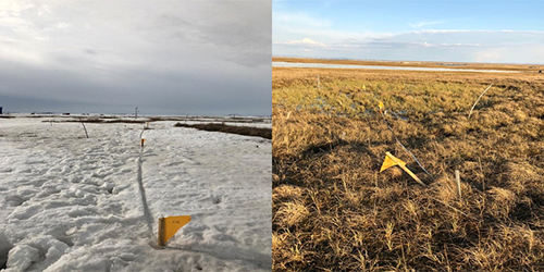
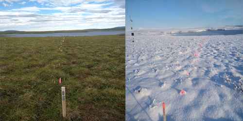
 Lat, Long: 72.369694, 126.480778
30x30m area: soil (peat)
ground: moist (wetland)
tree cover: no
dominant vegetation: moss
other vegetation: graminoids
disturbance: human (Samoylov Research station in about 200 m distance)
transect points: 12
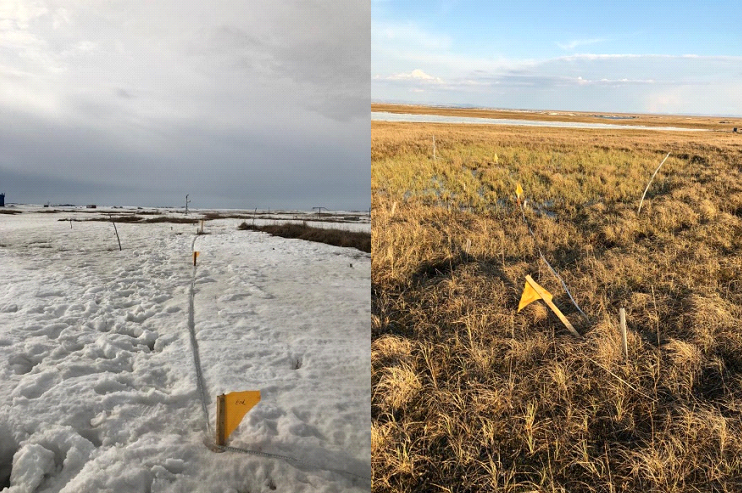
 Lat, Long: 78.920884, 11.833222
30x30m area: rock and soil (gravel, silt)
ground: dry (no water features)
tree cover: no
dominant vegetation: graminoids
other vegetation: moss, lichen
disturbance: human (water pipes)
transect points: 12
 Lat, Long: 78.920902, 11.855752
30x30m area: rock and soil (gravel, silt)
ground: dry (no water features)
tree cover: no
dominant vegetation: forbs
other vegetation: sedges, moss, lichen
disturbance: human (small airport,
research infrastructure)
transect points: 10

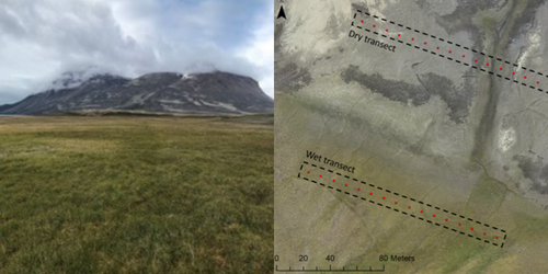
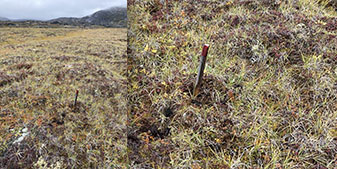
![]() Dry transect
Dry transect
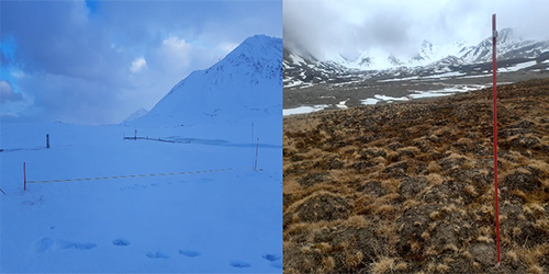
Lat, Long: 74.466, -20.564
30x30m area: soil (gravel, sand)
ground: dry (wet depressions)
tree cover: no
dominant vegetation: evergreen shrubs
other vegetation: sedges, moss, lichen
disturbance: natural (herbivory)
transect points: 16
![]() Wet transect
Wet transect
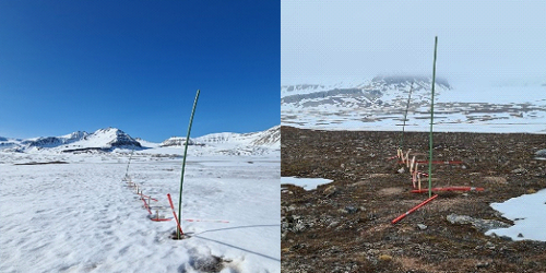
Lat, Long: 74.465, -20.566
30x30m area: soil (peat, silt)
ground: wet (wetland)
tree cover: no
dominant vegetation: graminoids
other vegetation: deciduous shrubs, moss
disturbance: natural (herbivory)
transect points: 16

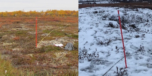
 Lat, Long: 69.8236, 27.174249
30x30m area: soil (peat)
ground: moist (wetland)
tree cover: no
dominant vegetation: moss
other vegetation: sedges, forbs,decidous shrubs,
evergreen shrubs, moss, lichen
disturbance: human (reindeer roundup site,
power line)
transect points: 30

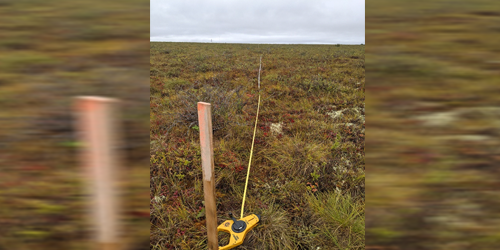
 Lat, Long: 69.107057, -105.119654
30x30m area: soil (sand)
ground: dry (no water features)
tree cover: no
dominant vegetation: forbs
other vegetation: grass sedges, deciduous shrubsmoss, lichen
disturbance: none
transect points: 30

Lat, Long: 68.312357, -133.8411![]()
30x30m area: soil (silt, clay)
ground: moist (wetland, river/ creek)
trees: yes (evergreen, broadleaf)
dominant vegetation: deciduous shrubs
other vegetation: sedges, forbs, lichen
disturbance: none
transect points: 20

 Lat, Long: 68.62283, -149.61179
30x30m area: soil (unknown)
ground: moist
tree cover: no
dominant vegetation: graminoids
other vegetation: sedges, forbs, deciduous shrubs, moss
disturbance: human (field plots, boardwalks within 25-100m, met
station about 10m away, pipeline about 5km away)
transect points: 25

 Lat, Long: 68.7481333, -133.4974666
30x30m area: soil (peat)
ground: moist (river/ creek)
tree cover: no
dominant vegetation: moss
other vegetation: deciduous shrubs, lichen
disturbance: none
transect points: 30

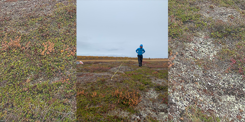
 Lat, Long: 69.0, 25.0
30x30m area: soil (peat)
ground: moist (wetland)
tree cover: no
dominant vegetation: moss
other vegetation: sedges, forbs, deciduous shrubs, evergreen shrubs, mosses, lichen
disturbance: natural (thaw slumps)
transect points: 10

")
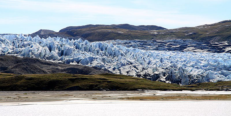
 Lat, Long: 67.143, -50.091
30x30m area: soil (sand, silt)
ground: moist (lake, wet depressions)
tree cover: no
dominant vegetation: deciduous shrubs
other vegetation: sedges, forbs, mosses, lichen
disturbance: human (road)
transect points: 30
 Lat, Long: 69.218852, -51.053902
30x30m area: rock and soil (peat, clay)
ground: moist (wet depressions, water/creek)
tree cover: no
dominant vegetation: graminoids
other vegetation: sedges, forbs, deciduous shrubs, evergreen shrubs, mosses, lichen
disturbance: human (water pipelines)
transect points: 20
